In fact, there were no falls at Cedar Falls, either, which is supposed to be the "most abundant waterfall in the park." Usually, the tops of those large boulders are just barely visible above the surface of the water, tempting one to use them as stepping stones, but slippery enough to deter the wary.

The information sign proudly proclaims that "Queer Creek cascades down the face of the rock in a tremendous display of the power of water." Hah! The water was barely dripping.
In the spring of 1998, however, it was a different story. Flood waters tore through this peaceful valley, destroying all the bridges in the park with the exception of the old stone bridge at Old Man's Cave. When they rebuilt this particular bridge, they reused the original steel girders. It looks pretty straight, doesn't it?

Try it from this angle:
This tree was far enough up the slope to avoid being washed away that year, but in the future, who knows?

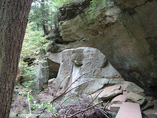
There are no major caves along the Cedar Falls section of the trail, but plenty of rocky overhangs.

Here we go up the path that leads us out of the gorge and up to the rim. Yes, Virginia, there is a path.


1 comment:
Thank you for taking us on this marvelous journey with you. We are enjoying every minute of it. Great pictures!
Post a Comment